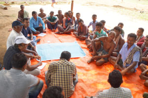
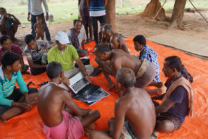
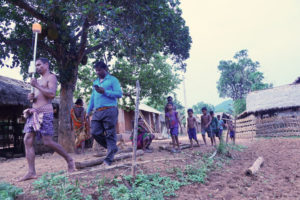
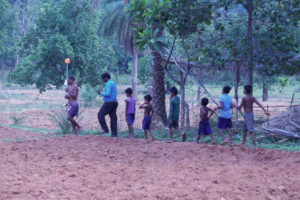
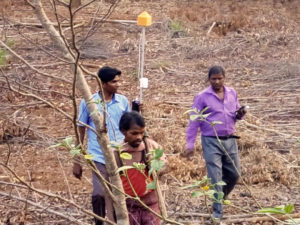
It was a great learning experience to assist youth, women & elders in mapping their individual & community Landrights as per Forest Rights Act 2006. With support of Foundation for Ecological Security (FES), an elaborate participatory & community-led process was adopted to map 240 parcels in a weeks time with mobile enabled Differential Global Positioning Systems (DGPS)/Global Navigation Satellite System(GNSS).